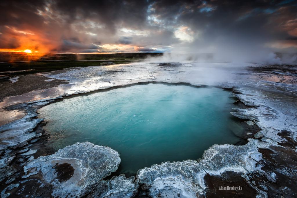
Location
Hveravellir Nature Reserve is located on the Kjölur route or road 35 (former road F35), which runs approximately 200 km across the middle highlands of Iceland from Gullfoss waterfall in the south to Blöndudalur valley in the north. The area lies about halfway between Reykjavik city and Akureyri town in north Iceland, about 200 km in either direction.
By car
During the summer months the road to Hveravellir is passable by most type of cars although it is strongly recommended not to take the route on the smallest type of cars. The distance from Gullfoss waterfall to Hveravellir is about 90 km. Make sure to fuel up before heading into the highlands. The closest petrol station is 100 km away from Hveravellir.
By bus
Scheduled bus services over Kjölur route
Unfortunately there is no scheduled bus service on Kjölur route at the moment.

